Religious Pilgrimage Routes in the Modena Area
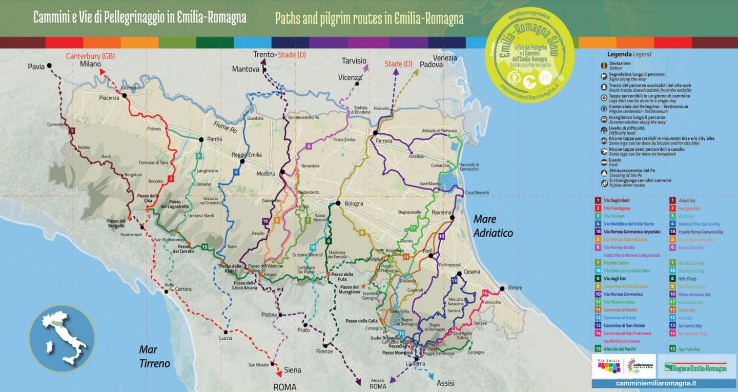
Via Romea Nonantolana
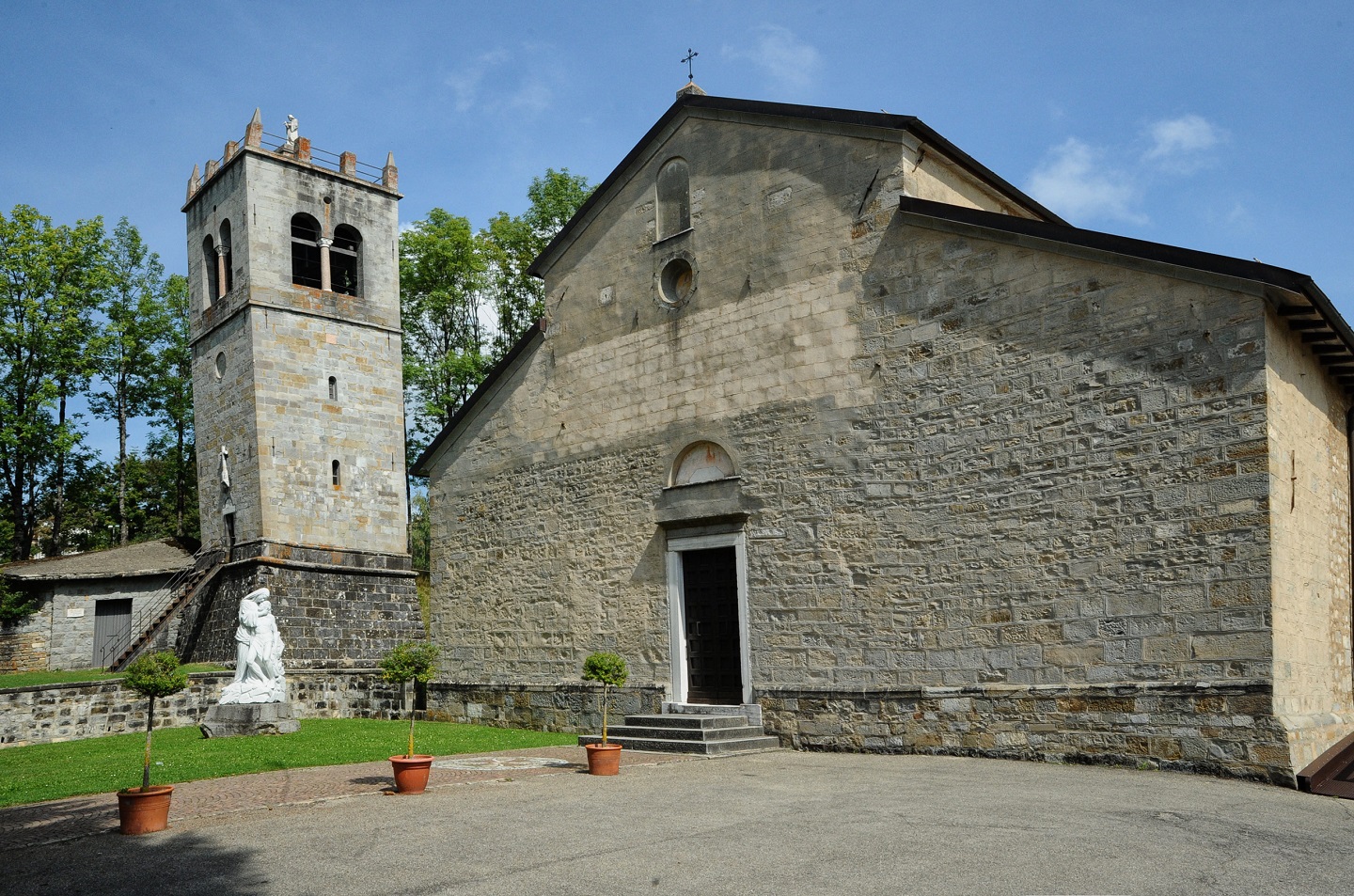
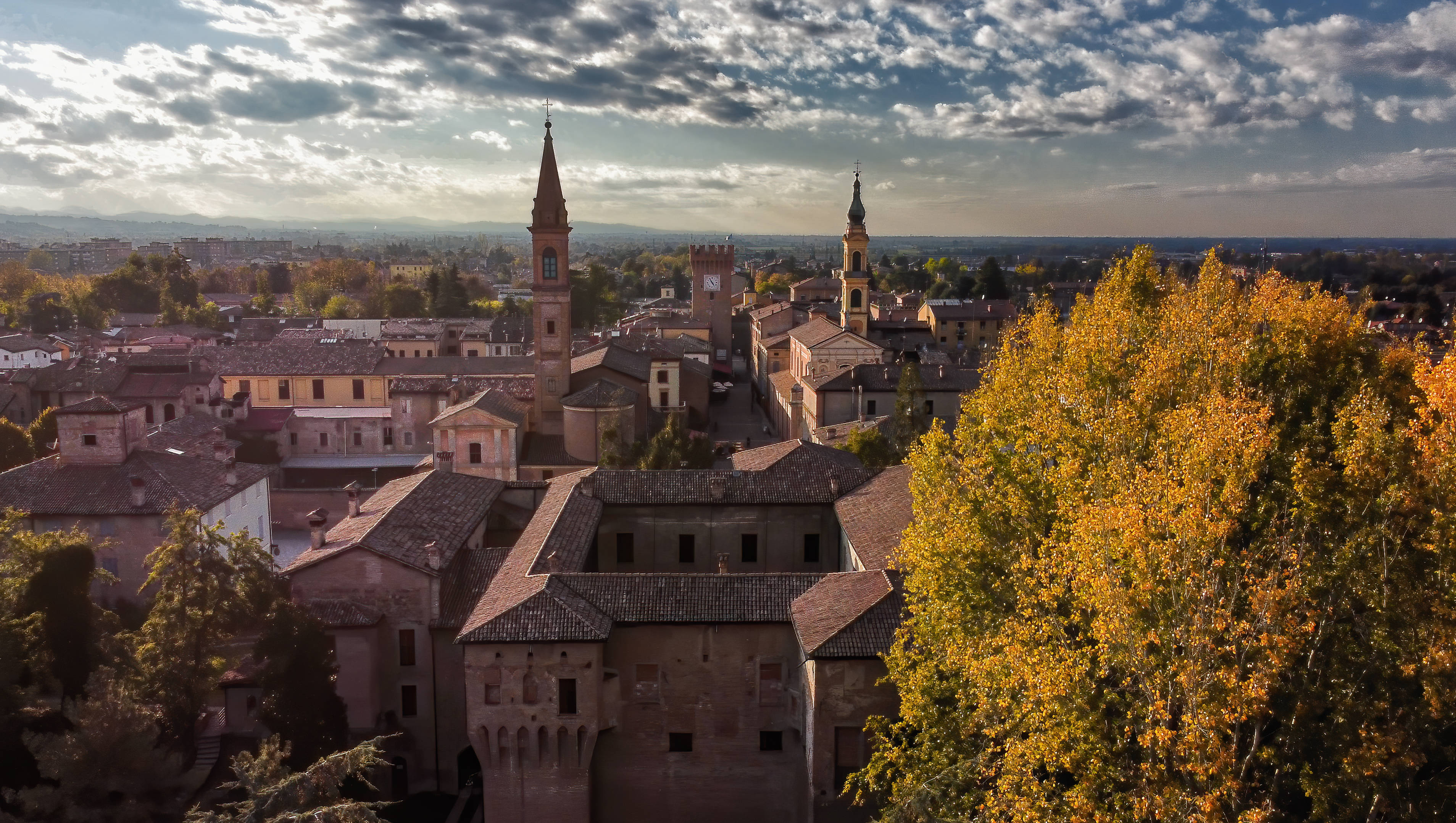
Lombard in its origins, the Via Romea Nonantolana takes its name from the Nonantola Abbey, one of the historic starting points for religious pilgrimages and today part of the Cammini d’Europa Project (European Pilgrimage Routes), a network of pilgrimage trails that bring together history, culture, and tourism.
One unusual feature of the Cammino Nonantolano is that the road is divided into two separate routes: the western route follows the left bank of the Panaro River while the eastern route parallels the right bank.
Both roads start in Nonantola and come together again in Fanano, continuing along the edge of the Apennines until they cross the mountains at the Croce Arcana Pass.
The Via Romea Nonantolana then joins the Via Romea Strata (in its Emilia-Romagna section), which leads toward Rome from the northeast of Italy. Near the town of Fucecchio in Tuscany, the Via Romea Nonantolana follows the Via Francigena to Rome.
Via Romea Germanica Imperiale
The Via Romea Germanica Imperiale connects the city of Trento with the city of Arezzo and is part of the ancient system of Germanic roads that led to Rome. In past centuries, the Via Romea Germanica Imperiale was heavily used for military, religious and commercial purposes because it connected the Alpine and Apennine passes with the southern end of the Italian peninsula. The north-south road network on which the route of the Via Romea Germanica Imperiale is based has a long history as an important connection between Europe and the Mediterranean and was used in both directions by the Celts, the Etruscans, and later the Romans. The Lombards, Franks, and Germans reached Italy in the Middle Ages along this same road.
Beginning in the 18th century, the Via Romea Germanica Imperiale became one of the most important links between Italy and the rest of Europe. The construction of the Abetone-Brennero highway in the early 20th century substantially followed its route.
Today, the Via Romea Germanica Imperiale traverses an extremely varied landscape. From the Alpine valleys to the mountains of the Tuscan-Emilian Apennines, the road brings visitors to Modena and to the small mountain villages of the Apennines where many PDO (protected designation of origin) and PGI (protected geographical indication)products are made.
Romea Strata Longobarda Nonantolana
Romea Strata Lombard Nonantolana
The name Via Romea Strata was originally given to a series of ancient roads that reached the borders of Italy from Central Eastern Europe.
Because the road comprised several separate routes, it was usually divided into seven smaller paths that entered Emilia Romagna in Badia Polesine after crossing the Po River.
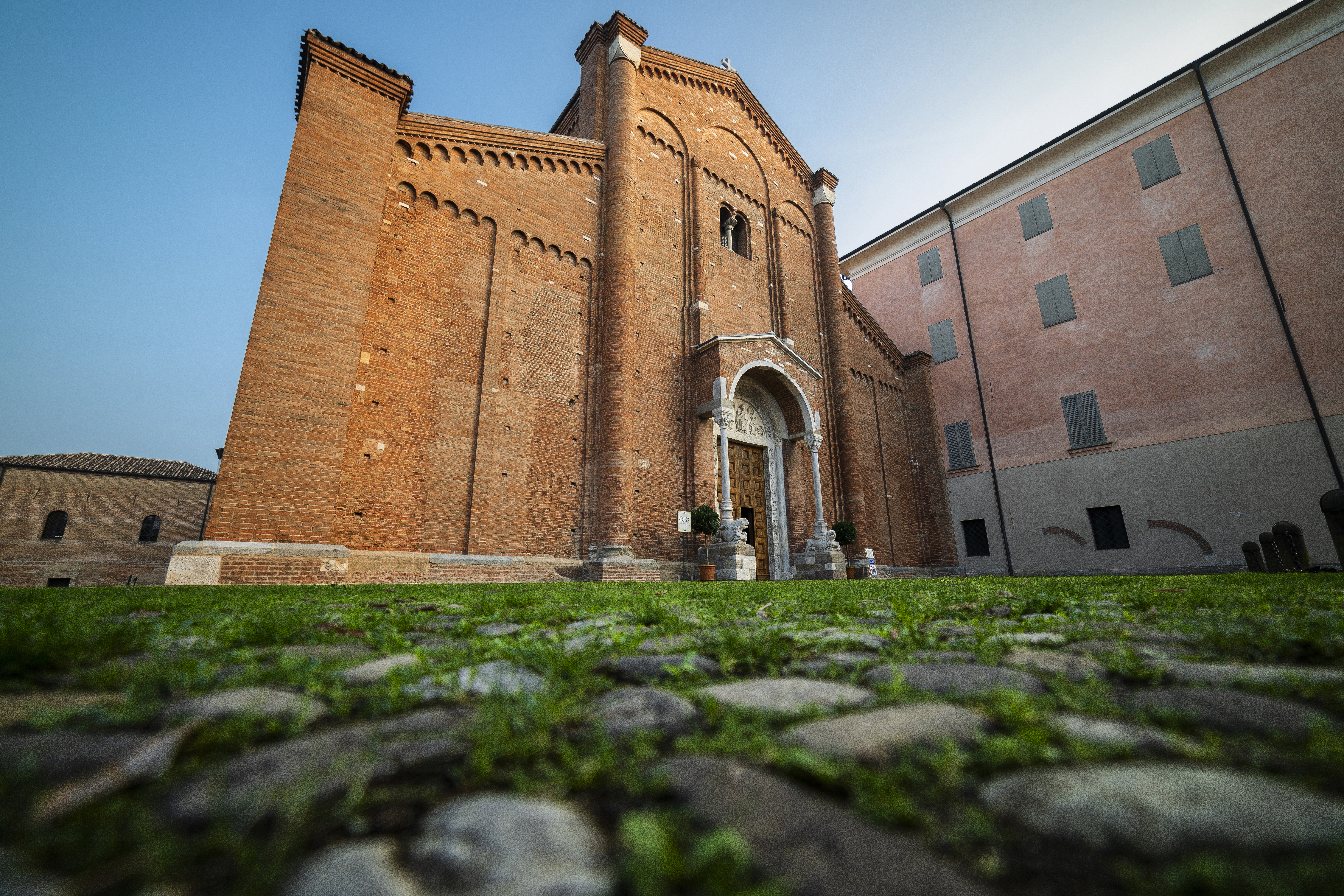
In the section that crosses Emilia-Romagna today, the Via Romea Strata is called the Romea Longobarda-Nonantolana because, for a long stretch, it follows the Via Romea Nonantolana, passing through such historic centers of religious pilgrimage as the Cathedral of Modena, the Nonantola Abbey, and the pilgrimage hostels in Fanano.
Once on the other side of the Apennines, the Via Romea Lombarda once more heads toward Pistoia and San Miniato in Tuscany, continuing south until it reaches the Via Francigena.
Piccola Cassia
The Piccola Cassia is an ancient Roman road to the north, following the route of the more famous Via Cassia to cross the mountains between Modena and Bologna.
The origins of the Piccola Cassia date to the Roman conquest and to the Empire’s expansion into the Po Valley, where new colonies were founded and a preexisting road system was revamped.
The route of the Piccola Cassia has remained unchanged and begins at the southern gate of the City of Modena. From there, it follows the ridge between the Panaro River and Samoggia River valleys toward the villages of Zocca and Castel d’Aiano, where it enters the Reno River Valley.
Once across the Apennines, the pilgrimage trails descend into Tuscany to cross the Ombrone River Valley to reach Pistoia, where they rejoins the Via Cassia on the way to Rome.
The pilgrimage routes described above are all part of the Emilia-Romagna Region’s CamminiEmiliaRomagna.it project.

Other Ancient Roads through the Modena Area
Via Vandelli
Via Vandelli is an ancient commercial and military road commissioned by Este Duke Francesco III and built in the mid-18th century to connect Modena (capital of the Este Duchy of the same name) and Massa. The abbot, engineer, geographer, and court mathematician, Domenico Vandelli, was charged with designing a new road system that would be technologically advanced for its time. He was given personal responsibility for directing the work, and Via Vandelli was later named in his honor. Construction began in 1738 and, by 1751, the road was considered complete.
Via Bibulca
The Via Bibulca is an ancient Roman road designed to allow two oxen to pass side by side and, therefore, to be wide enough for carts. It began at the confluence of the Dolo River and the Dragone River and led from the Secchia River Valley to the Radici Pass (Passo delle Radici). During the Middle Ages, it became one of the main routes between Emilia and Tuscany and can still be driven today in the towns of Montefiorino and Frassinoro. The Via Bibulca’s history is tied to the many events that took place in the middle Secchia River Valley over history, an area that makes up the Secchia-Dolo-Dragone Rivers valley and river system. The road gained importance in the first half of the eighth century when the Lombards opened the Passo delle Radici to connect the Modenese mountain, hard won from the Byzantines, with their possessions in the Garfagnana. Major expansion of the Via Bibulca came at the end of the 11th century, starting with the foundation of the Benedictine Abbey of Frassinoro (1071) by Beatrice of Lorraine, mother of Matilde di Canossa.