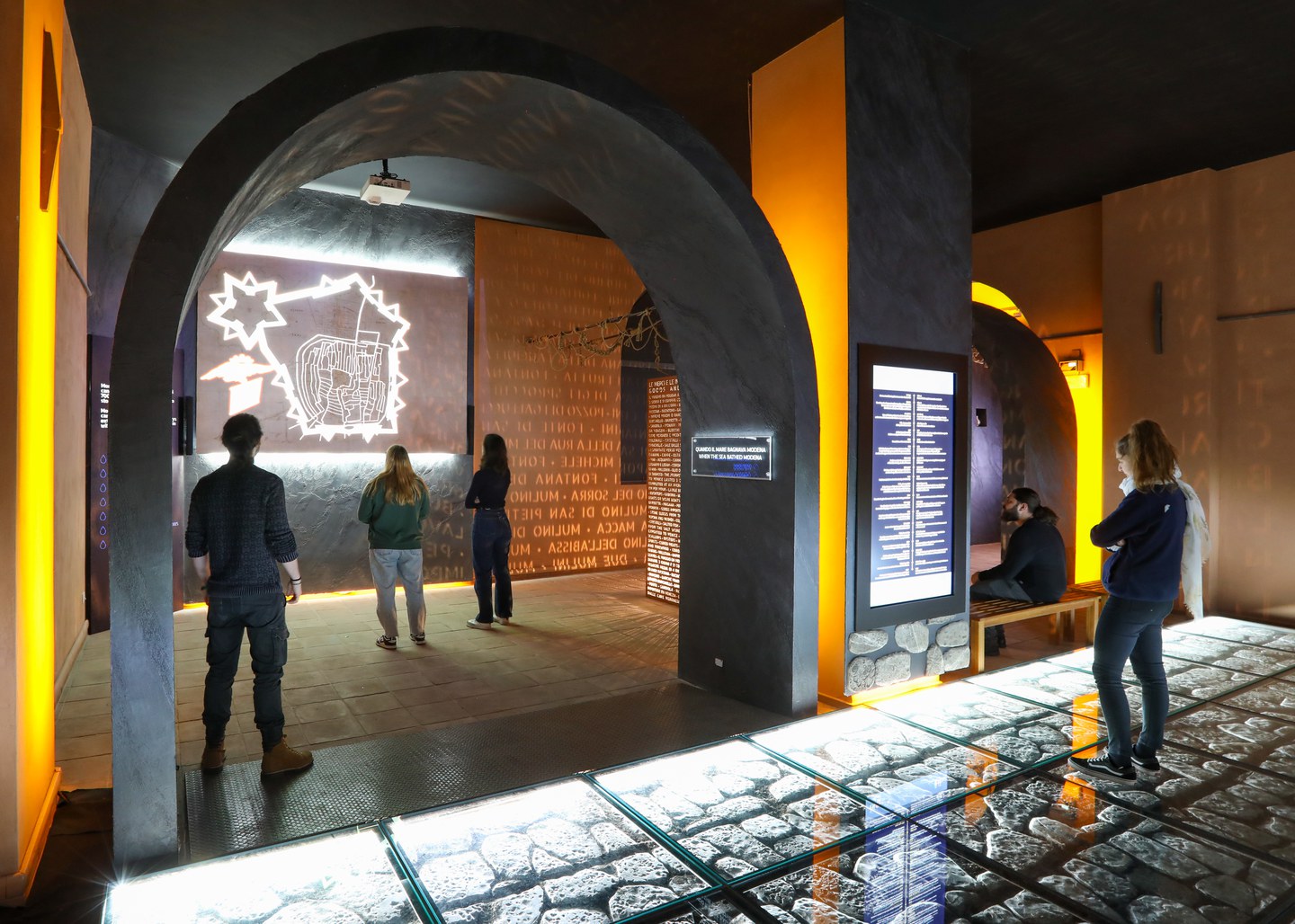
When the sea bathed Modena
Modena, built on numerous canals, is home to a waterway network of over 700 km, with 20 km of sewers in the historic centre alone. Over the centuries, the presence of water has shaped city life, influencing its economic and social development. The covering over of the canals began in the fifteenth century, leaving uncovered the stretches used for trade and as a source of hydraulic energy. The room displays the “Map of the City of Modena” drawn up in 1684 by Giovanni Battista Boccabadati, which provides a detailed depiction of the city’s underground canals and drains.
THE NAVIGLIO
The importance of navigation in a city as rich in water as Modena is documented by the Statutes of the Guild of the Paroni, river navigators. The Naviglio was the artificially excavated navigable canal which connected the city and the Po river and onwards towards the Adriatic Sea. The confluence of the Cerca Canal and the Chiaro Canal, in the south-western corner of the Doge’s Palace, marks the point of origin of this canal. Beyond Porta Albareto, now called Calle Bondesano, was the port of Modena. Here, merchant barges and were anchored as well as the vessels for transferring passengers from large boats to the mainland. River navigation continued until the early 1900s.
THE DOCK
Duke Francesco I had the Darsena (dock) built, an internal port of the city that was to promote the commercial development of the new capital of the Duchy of Este, which came into operation in the mid-1600s. The banks of the canal and the port were adorned with sumptuous decorated marble parapets, called murazzoli. In 1667, in order to increase the activity of the port, the sbarco delle robe was built, a system of planes inclined towards the surface of the water that allowed the wagons to load and unload. In 1859, the Naviglio and the inner port of the city were turned the other way and transformed into the wide avenue dedicated to the first king of Italy, Vittorio Emanuele II.
THE MODONELLA CANAL
The Modonella canal is one of the oldest in the city and originates from the spring waters emerging in the area south of the city, in ancient maps denominated “paduli” or swamp, corresponding nowadays to the area of the San Faustino district. The canal entered the city after crossing the walls near Via Selmi and then through the nunnery of San Paolo to then join its waters to those of the Chiaro canal to flow into the Naviglio. Its clear waters were used by washerwomen.
THE FOUNTAINS
The city aqueduct was built only in the Thirties of the twentieth century. Drinking water was obtained from wells called artesians, dug by drilling into the ground. The city’s coat of arms shows two crossed drills in recognition of this ancient art. Inside the courtyards and in private homes, there were numerous wells which also fed the fountains placed along the city streets. The statutes, or urban regulations, prescribed that the efficiency of these wells be checked periodically.
LIFE ON THE CANALS
Water has been a precious resource for the city since its foundation in Roman times. The driving force of water fed numerous mills, of Ducal, ecclesiastical or community property, located within the city walls and the local territory. The waters of the canals also powered the spinning mills and paper processing plants. Along the canals of spring water, the washerwomen would wash clothes, which were hung out in the meadows located outside the walls. The clear waters were also used to create vast basins used as swimming pools; in Modena the first bathing establishment was built in 1881, and was located south of the current Viale Carlo Sigonio.
THE ESTE FAMILY AND THE WATERS
The waterways were absolutely crucial to the Este domains, which from the thirteenth century until 1598 also included the area of the Po Delta and the Comacchio Valleys. The House of Este governed a largely marshy territory, which needed major reclamation work; extensive works were started in the fifteenth century, in order to improve the living conditions of the population, especially in terms of hygiene and sanitation, and to promote the development of agriculture. Hydraulic reclamation was promoted at the beginning of the sixteenth century by Duke Alfonso I of Este and by Lucrezia Borgia herself, although the major works were completed in the second half of the century under Duke Alfonso II. The Este family owed their political importance to the strategic location of their territories, adjacent to the Serenissima Republic of Venice and located in the centre of the Po Valleys, dominating the main communication routes that led from the north to Rome. On their diplomatic journeys to Milan, Mantua and Venice, the Dukes of Este habitually would travel along the different branches of the Po using their magnificent Bucintoro, a large vessel inlaid and covered in gold and blue, the family colours.
THE CANALS TODAY
Modena looked very different in past centuries, as the urban canals used to flow uncovered along the public roads. From the eighteenth century onwards they were covered over and even today, the names of the streets are testimony to their invisible presence. Canal Chiaro, Canal Grande, Via della Cerca, Fonte d’Abisso, Fonte Raso, Modonella and many others.
Click HERE to listen to the audio


